Colonial Williamsburg is probably best known as a living history museum and in fact, it is the largest museum of its type in the nation. Less known, Colonial Williamsburg has an amazing collection of maps and prints from the colonial period. Promoting America: Maps of the Colonies and the New Republic is now open to the public and it shows some of the highlights of the museum’s extensive collection. Ideum was thrilled to work with The Art Museums of Colonial Williamsburg to develop a new interactive exhibit allowing visitors to explore maps and other materials from the colonial era and the early days of the Republic.
The map explorer interactive exhibit allows visitors to pan and zoom maps and prints, exploring details and viewing annotated points-of-interest added by Colonial Williamsburg’s curatorial team. Ideum conducted user-testing and evaluation to create an intuitive user-interface which allows visitors to quickly and easily interact with the fascinating maps and prints in the collection. Our design approach focused on simplicity and clarity, providing the tools to allow visitors to explore the primary materials in a variety of ways.
The application connects to an existing museum-wide CMS that Colonial Williamsburg uses for many of its digital exhibits. Ideum developers worked with the museum to modify the system for the specific features that the map explorer application has. Through this system, Colonial Willamsburg can add additional content, update text, and add annotations. The map explorer was developed in Unity and it consumes the media locally, updating it when the network connection is available and when new content is added.
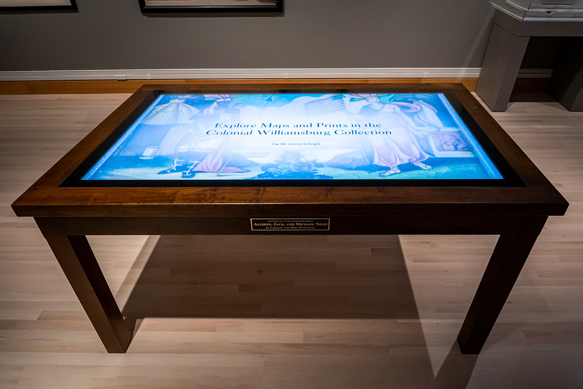
The elegant custom tables were developed by the Colonial Williamsburg museum design and operations group. Matching the period furniture, the touch tables evoke the era and provide an attractive feature within the exhibit space. Ideum’s Inline displays, open-frame large touch displays were utilized for this installation.